Revolutionary War Sites You Can Still Visit

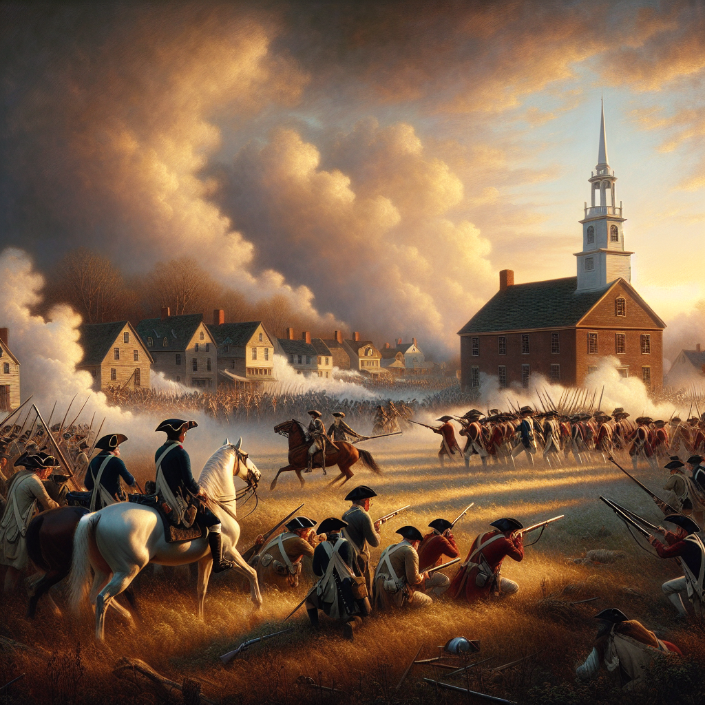
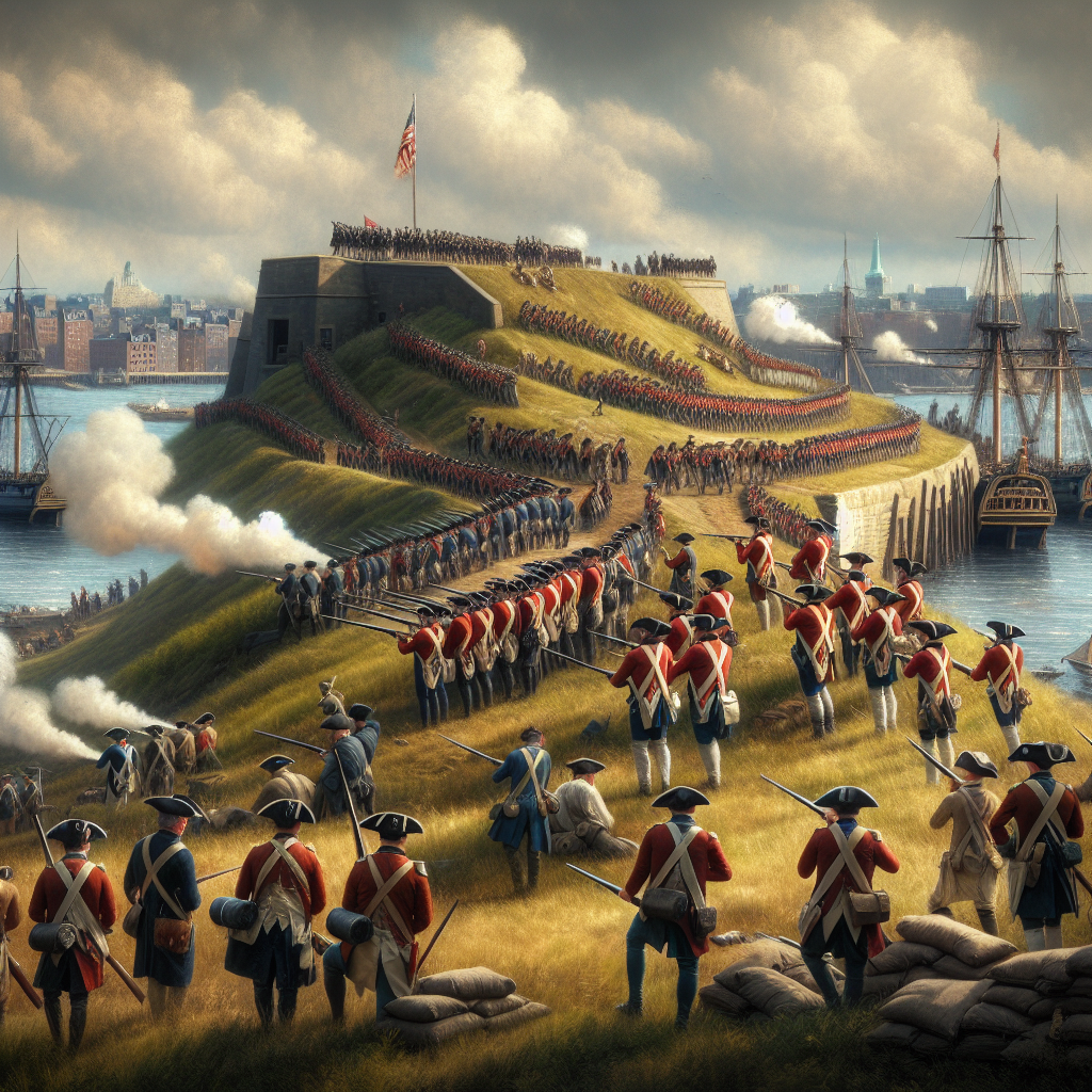
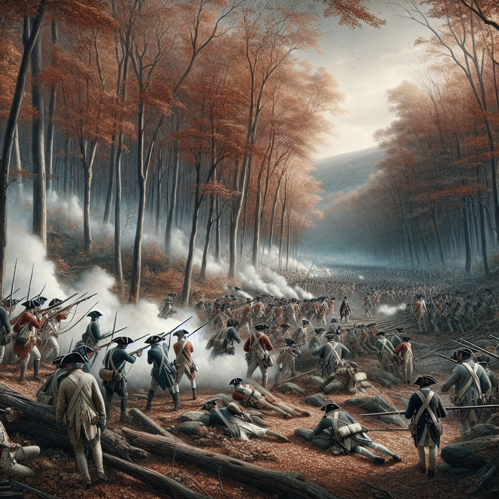
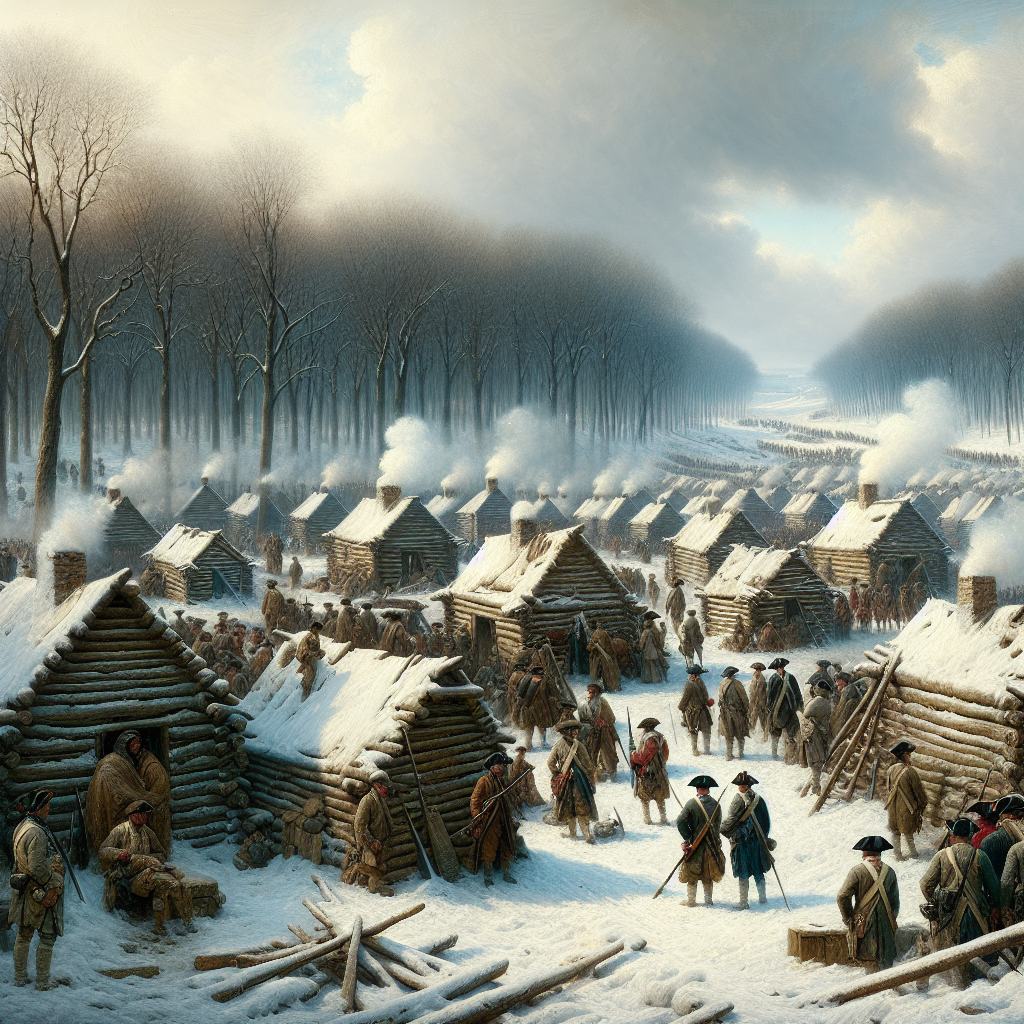
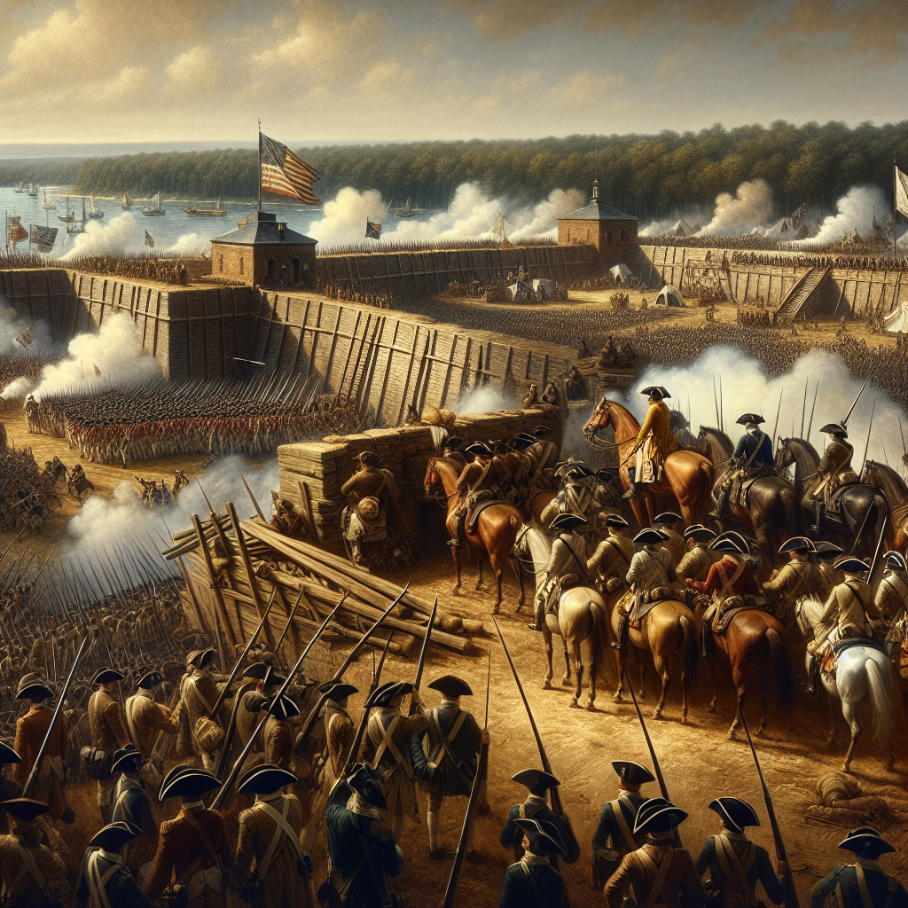
The American Revolution left a scattered trail of fields, forts, and town squares across 13 states, many of them preserved almost exactly as they were on the day the fighting happened there. A stone wall in Concord, Massachusetts, a packed-earth redoubt outside Yorktown, Virginia, a cold hillside in Pennsylvania where an army nearly starved — these are not reconstructions but the actual ground, and walking them changes what the war's familiar names mean. This guide assembles the sites that still stand, or stand close enough to the original spot, from the first shots on April 19, 1775, to the surrender that ended the fighting on October 19, 1781.
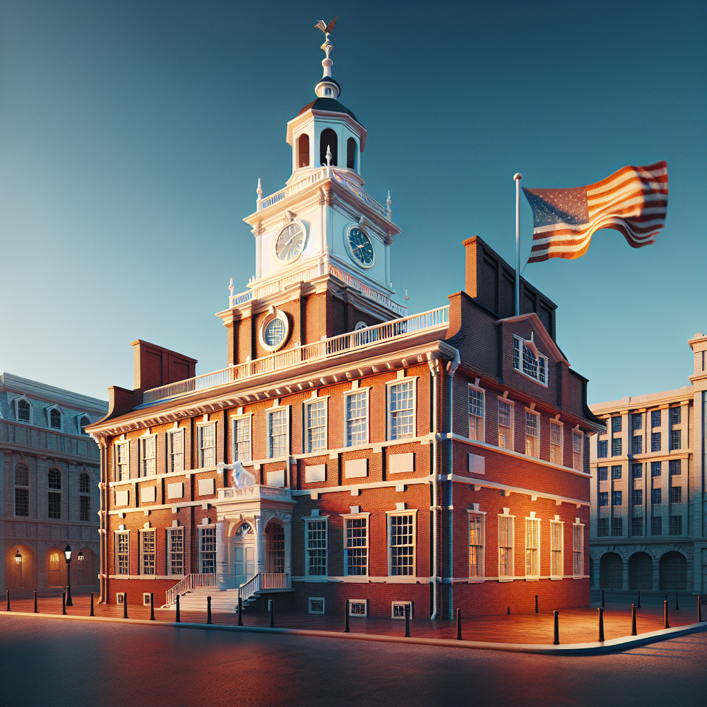
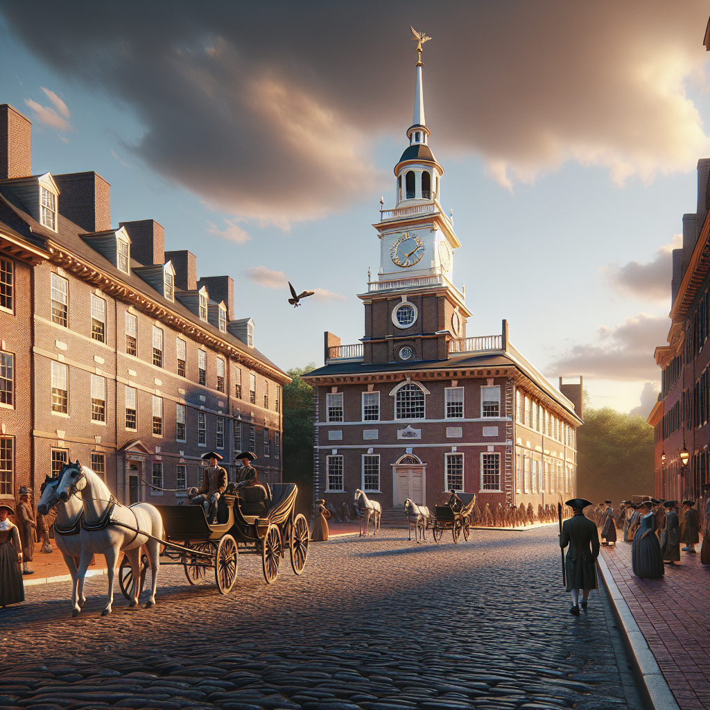
The tour follows the war roughly as it happened: north out of Massachusetts and up to Lake Champlain in 1775, into New York and New Jersey where Washington's army nearly dissolved over the winter of 1776, through Pennsylvania's campaign season of 1777, and south into the Carolinas and Virginia for the final three years of fighting. Each stop links to the full BriefHistory entry on the battle, building, or city, with a note on what a visitor finds there today — a national park, a museum, a monument, or in a few cases very little at all.









For the full sequence of battles, see our timeline of every major battle of the Revolution. For the sites inside Boston itself — the Tea Party ship, the Old North Church, and the green at Lexington — see our guide to Revolutionary Boston.