Trace the Oregon Trail Today: What Still Stands Along the Historic Route
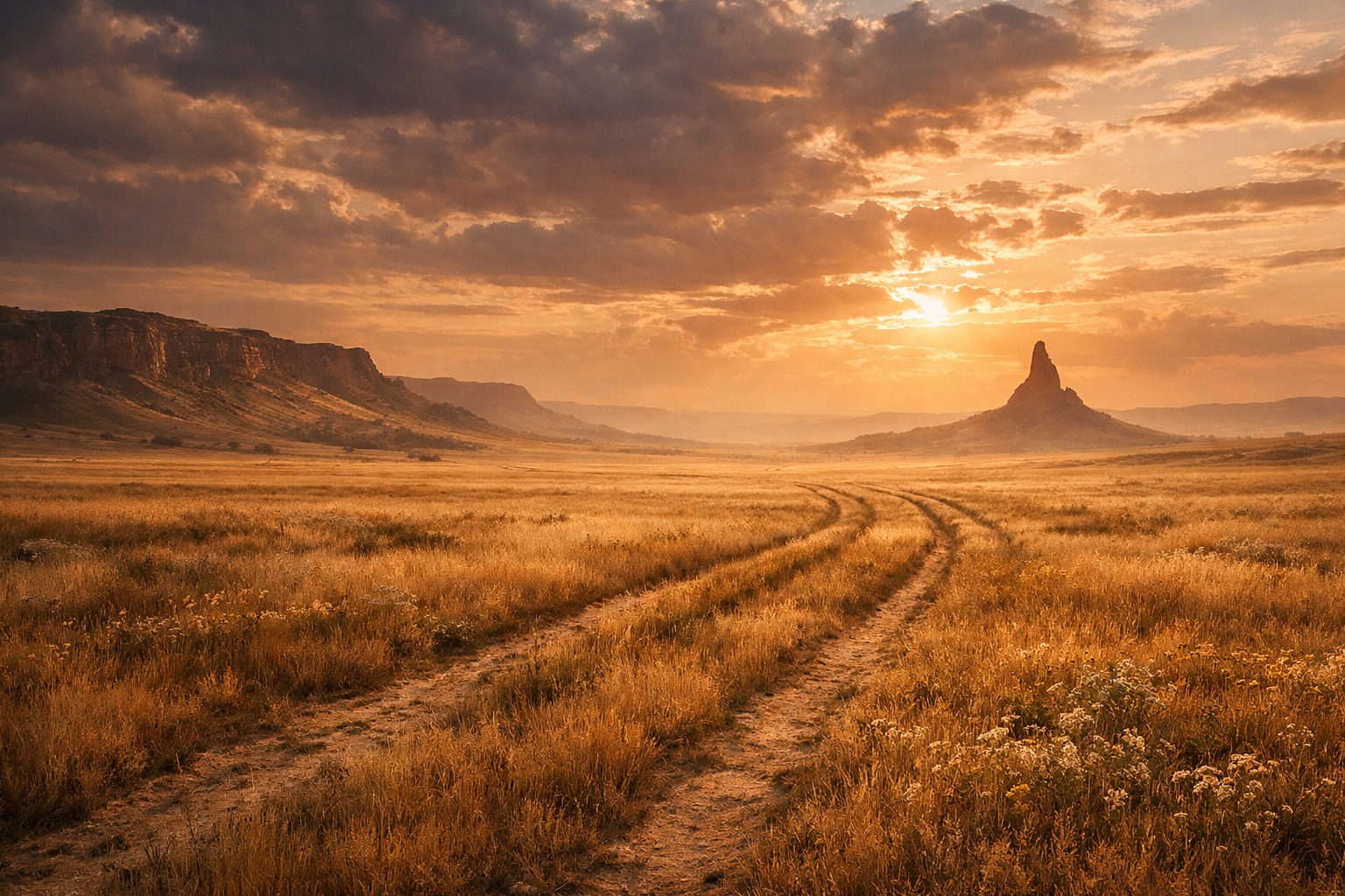
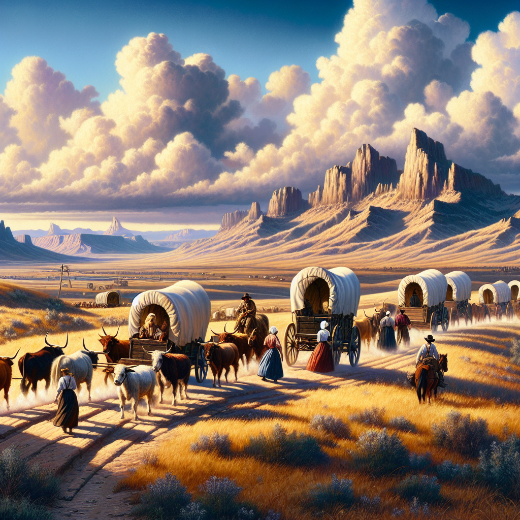
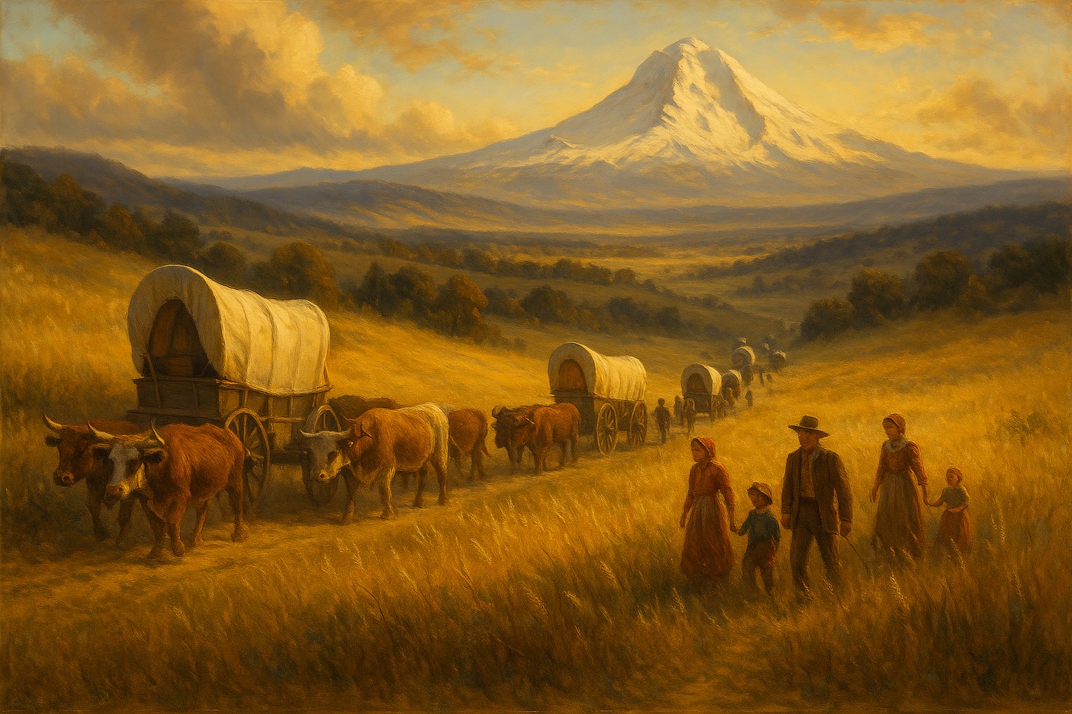
The Oregon Trail was never one fixed road. Between 1840 and 1869, something like 400,000 emigrants followed a loose corridor of wagon ruts, river crossings, and landmarks roughly 2,000 miles from the Missouri River to the Willamette Valley, and the route shifted constantly as cutoffs opened, forts moved, and travelers argued over which fork saved the most time. What survives today is not a single trail a visitor can drive end to end but a chain of specific places — a fort, a rock, a river crossing — each preserved because it marked something: a resupply point, a deadline, a boundary, a grave.
This guide follows those places in the order a wagon train actually reached them, starting east of the Rockies in territory the United States had organized two generations before the trail existed, and ending at the Pacific settlements the trail was built to reach. Several stops sit on land the United States took from Native nations by treaty and then took again by force within years, and this guide notes that where it is unavoidable rather than smoothing it into scenery. One stop, the Whitman Mission, ended in a measles epidemic and a killing that still resists any comfortable telling, and this guide reports what happened rather than assigning it a moral.
A final stop belongs to a party that never reached Oregon at all. The Donner Party shared the same roads and forts as Oregon-bound emigrants for most of 1846 before splitting off toward California on a shortcut that cost them the season — a reminder that the trail west was never a single destination, and that the margin between arriving and not arriving could be a matter of weeks.
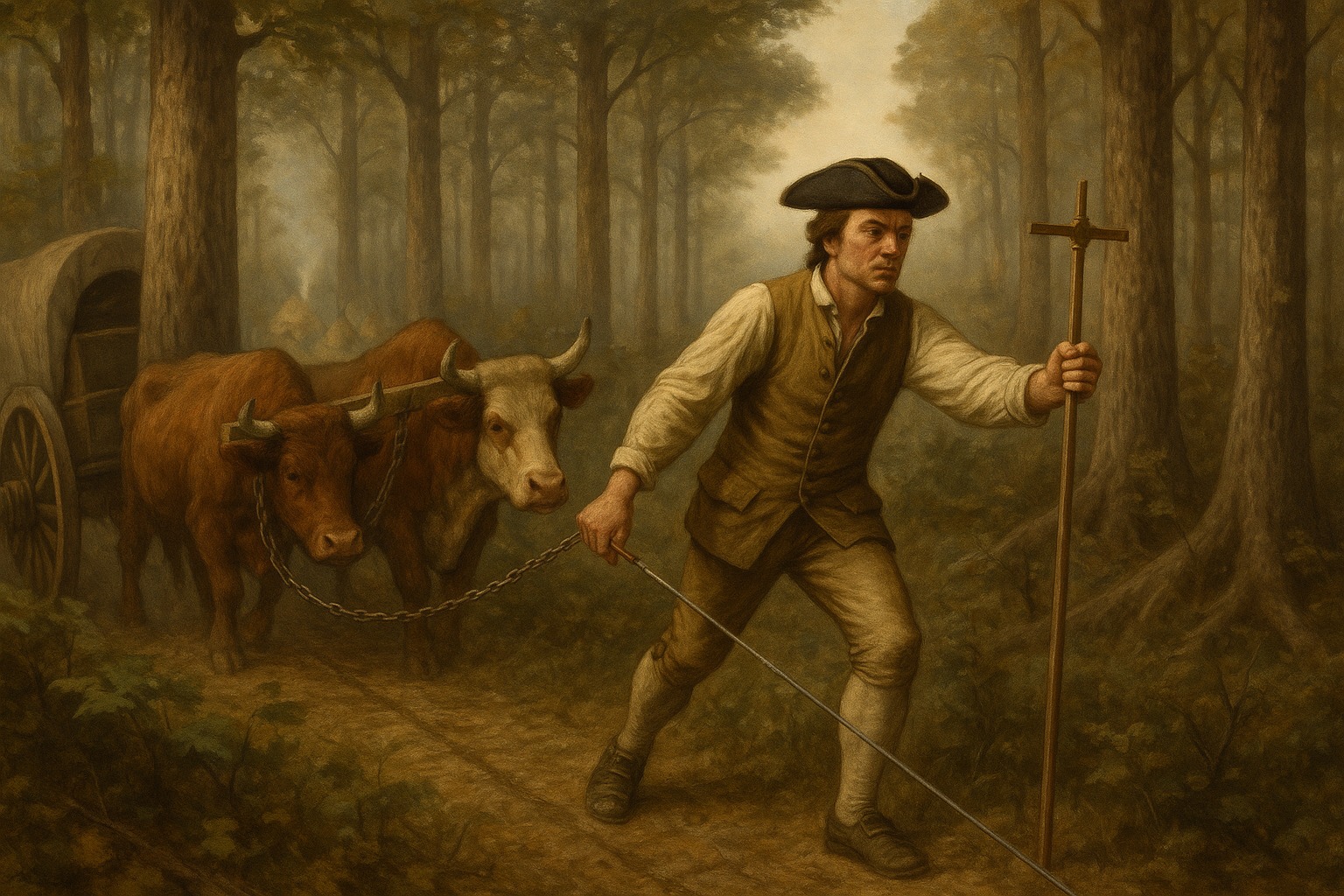
The mountain men and government surveyors who scouted these same river crossings and mountain gaps are covered in Explorers of North America: Who They Were and What They Found, and the fuller account of how trails like this one reshaped the country is in Westward Expansion: Explorers, Events, and Turning Points.