Northwest Territory
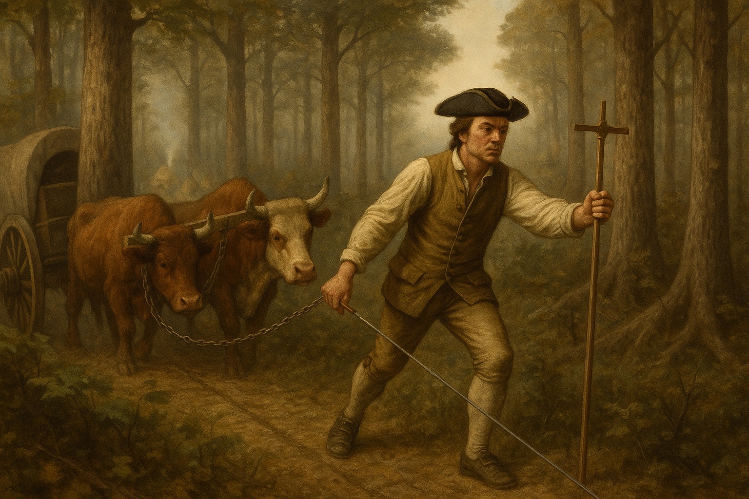
The Northwest Territory was the first organized federal territory of the United States, covering roughly 260,000 square miles between the Ohio River, the Mississippi, and the Great Lakes — country the British had nominally controlled and the new nation now claimed by right of the 1783 Treaty of Paris. None of it was actually under federal control in 1787. The Shawnee, Miami, Delaware, Wyandot, and other nations who had lived there for generations had not signed the treaty and refused to acknowledge it, and they would inflict the worst defeat in U.S. Army history on Major General Arthur St. Clair's forces at the Wabash River in 1791 before being broken at Fallen Timbers in 1794.
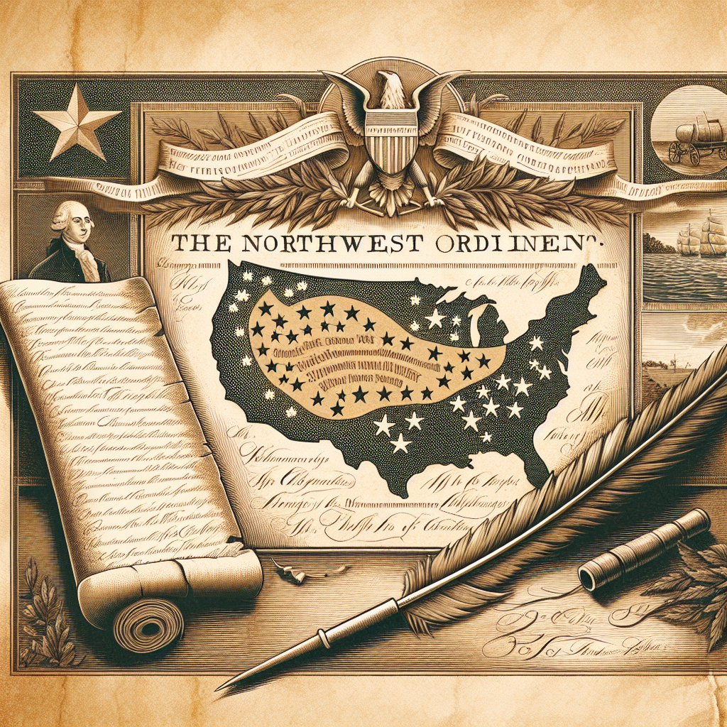
Congress organized the territory under the Northwest Ordinance, passed by the Confederation Congress in July 1787 — the same summer the Constitutional Convention was meeting in Philadelphia. The ordinance did three things that would shape the rest of American expansion. It established a survey grid of six-mile-square townships, the basis of property lines from Ohio to the Pacific. It set out a procedure by which territories with sufficient population could be admitted as states equal to the original thirteen. And it explicitly prohibited slavery north of the Ohio River — a line that would harden into the political division of the antebellum republic.
Five states were carved out of the Northwest Territory: Ohio in 1803, Indiana in 1816, Illinois in 1818, Michigan in 1837, and Wisconsin in 1848. Part of Minnesota came out of the territory's northwestern fringe. The ordinance's anti-slavery clause was honored unevenly — Indiana and Illinois both flirted with allowing slavery before admission — but it held, and it became the model for the Wilmot Proviso and the eventual structure of the Civil War. Congress had drawn a line on a map; two generations later, more than 600,000 Americans died fighting over whether that line should hold.
| Organized | Northwest Ordinance, July 13, 1787 |
| Area | ~260,000 square miles |
| Boundaries | Ohio River, Mississippi River, Great Lakes |
| First capital | Marietta, Ohio |
| First governor | Arthur St. Clair |
| Slavery clause | Article VI of the Ordinance prohibited slavery |
| States carved out | Ohio, Indiana, Illinois, Michigan, Wisconsin, parts of Minnesota |
| Dissolved | 1803 with Ohio's statehood |
| Date | Northwest Ordinance: July 13, 1787 |
| Location | Marietta, Ohio (first capital) |