Doppler Radar
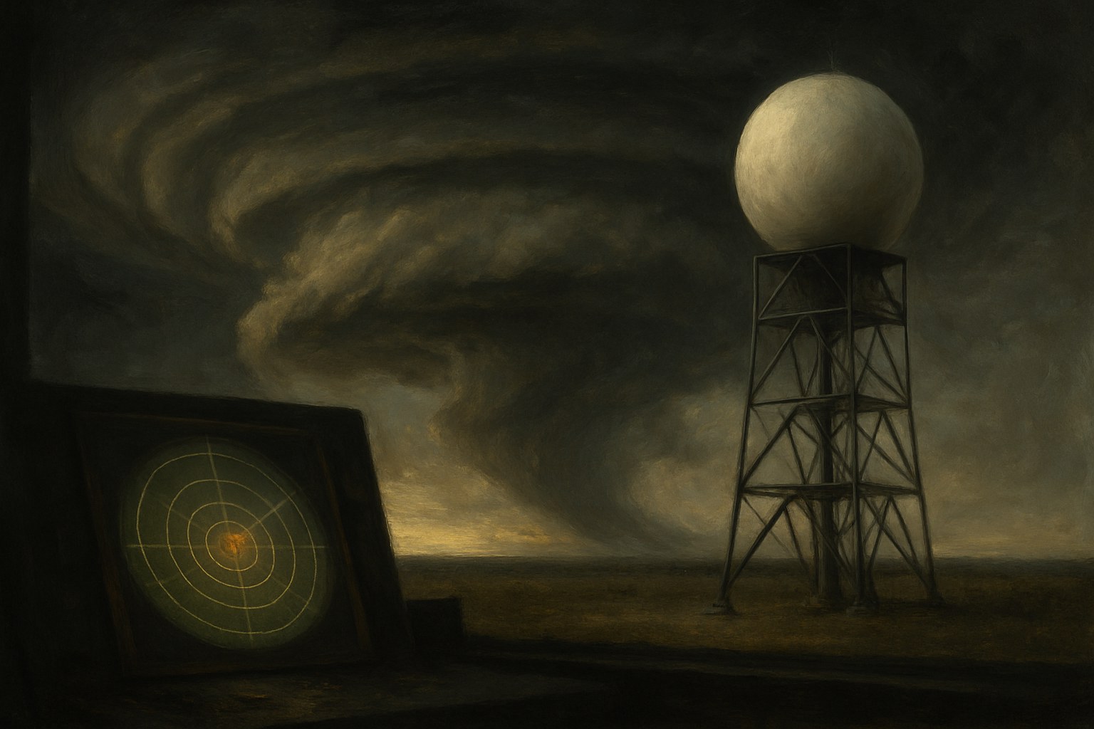
Radar was built to find aircraft, and rain was the problem. Operators in the Second World War learned to read past the fuzzy returns that bloomed across their screens in bad weather, calling them clutter or angels and tuning them out. A few noticed that the clutter had structure, and that it moved with the storms rather than drifting at random. After the war, surplus sets went to universities and to the Weather Bureau, and in April 1953 an operator in Illinois recorded a strange hook-shaped echo curling off the flank of a thunderstorm that had just put a tornado on the ground.
Conventional radar could say where the rain was but nothing about what the air was doing, and a tornado is a motion rather than a substance. The answer was the Doppler shift, the small change in frequency of a signal bounced off something moving toward or away from the antenna. A Doppler radar measures that shift for every droplet in its beam, and where it finds two adjacent patches of air moving in opposite directions it has found rotation. Researchers at the National Severe Storms Laboratory in Norman, Oklahoma, showed through the 1970s that this rotating column usually appeared on the screen well before any funnel touched down.
Turning a research instrument into a national network took a decade of argument over cost. The Weather Service, the Defense Department, and the Federal Aviation Administration eventually split the bill for NEXRAD, and the WSR-88D radars went up across the country between 1992 and 1997 — roughly 160 of them, each a white sphere on a tower sweeping its region every few minutes. A dual-polarization upgrade completed in 2013 added a second beam orientation, letting forecasters distinguish hail from rain and, more startling, see the debris a tornado lifts off the ground and carries with it.
The payoff was time. Average lead time on a tornado warning ran about three minutes in the late 1970s and reached roughly thirteen by the mid-2000s, long enough to move a school into an interior hallway or a family into a basement. The gain has since leveled off, and about three warnings in four are still false alarms, a rate that erodes the very trust the system depends on. Even so, the radar network changed what a warning is — no longer a general caution about the afternoon but a specific statement about a particular storm bearing down on a particular street.


| Origin | Wartime radar operators seeing rain as clutter |
| Principle | The Doppler shift reveals air moving toward or away |
| First hook echo | Illinois, April 1953 |
| Research home | National Severe Storms Laboratory, Norman, Oklahoma |
| NEXRAD | About 160 WSR-88D radars, deployed 1992-1997 |
| Lead time | From roughly 3 minutes to about 13 |
| Date | 1940s-present |
| Location | Norman, Oklahoma |