South Pass
South Pass crosses the Rocky Mountains at barely more than 7,400 feet, climbing so gradually across sagebrush flats that many wagon trains passed through without realizing they had crossed the Continental Divide until someone noticed the creeks running toward the Pacific instead of the Atlantic. Fur trappers working the region in the early 1810s and 1820s found and used the gap, but it took until 1836, when missionaries and fur traders guided the first wagons through, to prove the route could carry more than packhorses.
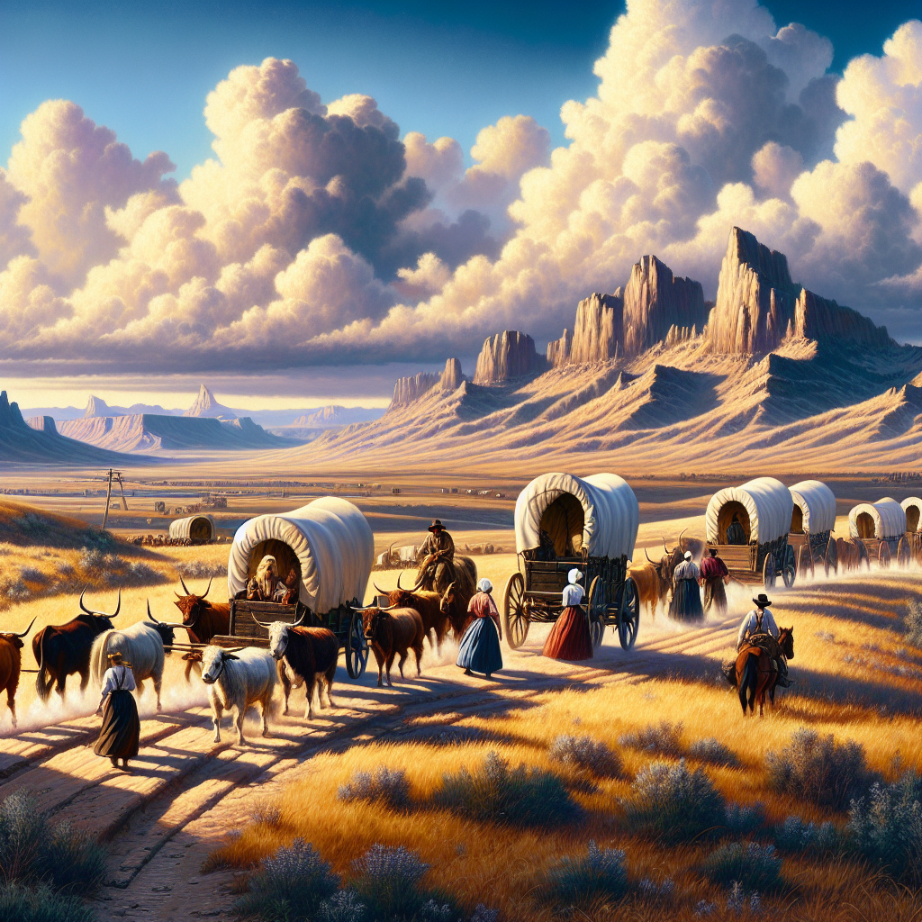
Every other viable crossing of the central Rockies required steep grades, narrow canyons, or both, which meant South Pass was not simply the best route to Oregon and California -- for wheeled traffic, it was close to the only one. An estimated 400,000 emigrants funneled through the 20-mile-wide gap between 1840 and the 1860s, splitting beyond it toward Oregon, California, or Utah depending on which cutoff they took at the string of forks and junctions just past the divide, near present-day South Pass City, Wyoming.
The pass carried the Pony Express and the first transcontinental telegraph line in the early 1860s before railroads bypassed it to the south, and traffic fell away almost overnight once the tracks opened in 1869. The Bureau of Land Management now manages South Pass as part of a protected historic corridor, where the original wagon ruts remain visible across open public land largely unchanged since the crossing fell silent.
| Elevation | About 7,400 feet |
| First used by fur traders | Early 1810s-1820s |
| First wagons crossed | 1836 |
| Role | Only practical wagon route across the central Rockies |
| Later carried | Pony Express and the first transcontinental telegraph |
| Managed today by | Bureau of Land Management |
| Date | Discovered 1812; wagon route proven 1836 |
| Location | South Pass, Wyoming |