Mississippi River
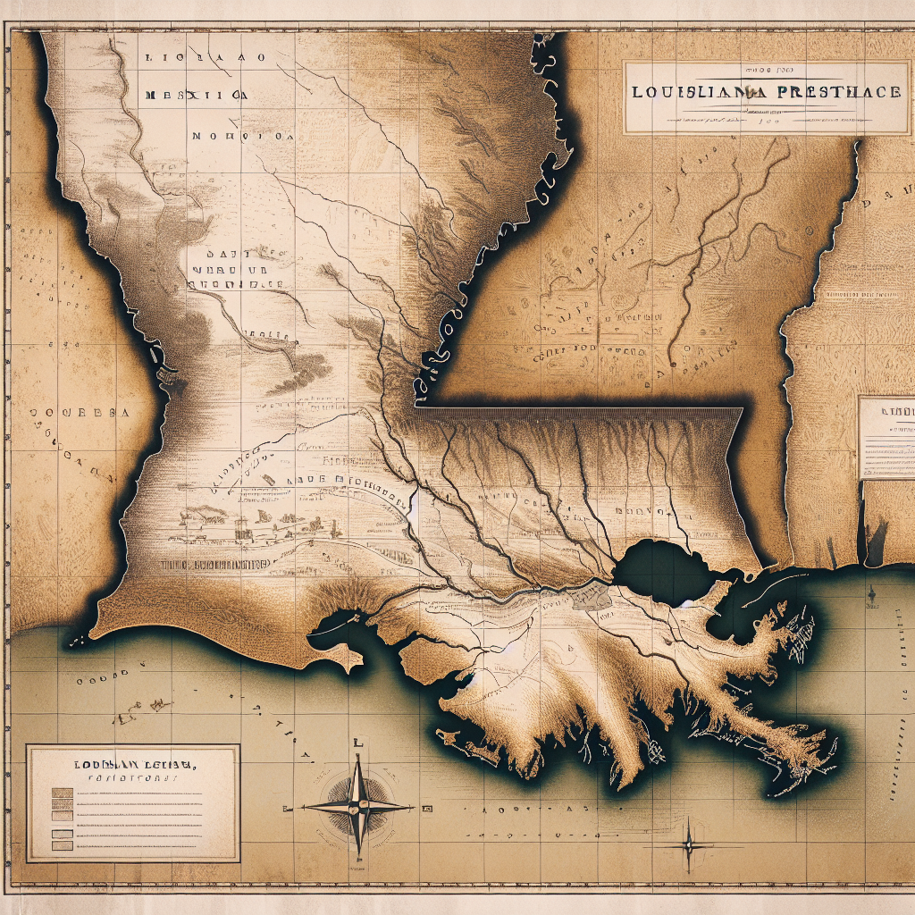
The Mississippi River runs 2,340 miles from Lake Itasca in northern Minnesota to the Gulf of Mexico, draining 31 states and two Canadian provinces — 40 percent of the continental United States — through a watershed that is the third largest on earth. Hernando de Soto's expedition reached it in 1541, becoming the first Europeans to see the river from its eastern bank; French explorers Jacques Marquette and Louis Jolliet paddled its upper reaches in 1673; René-Robert Cavelier, Sieur de La Salle, followed it to the Gulf in 1682 and claimed the entire watershed for France, naming it Louisiana for his king. The river the French claimed was already a highway — had been for thousands of years — for the Native nations whose civilizations had organized themselves around it since before recorded history.
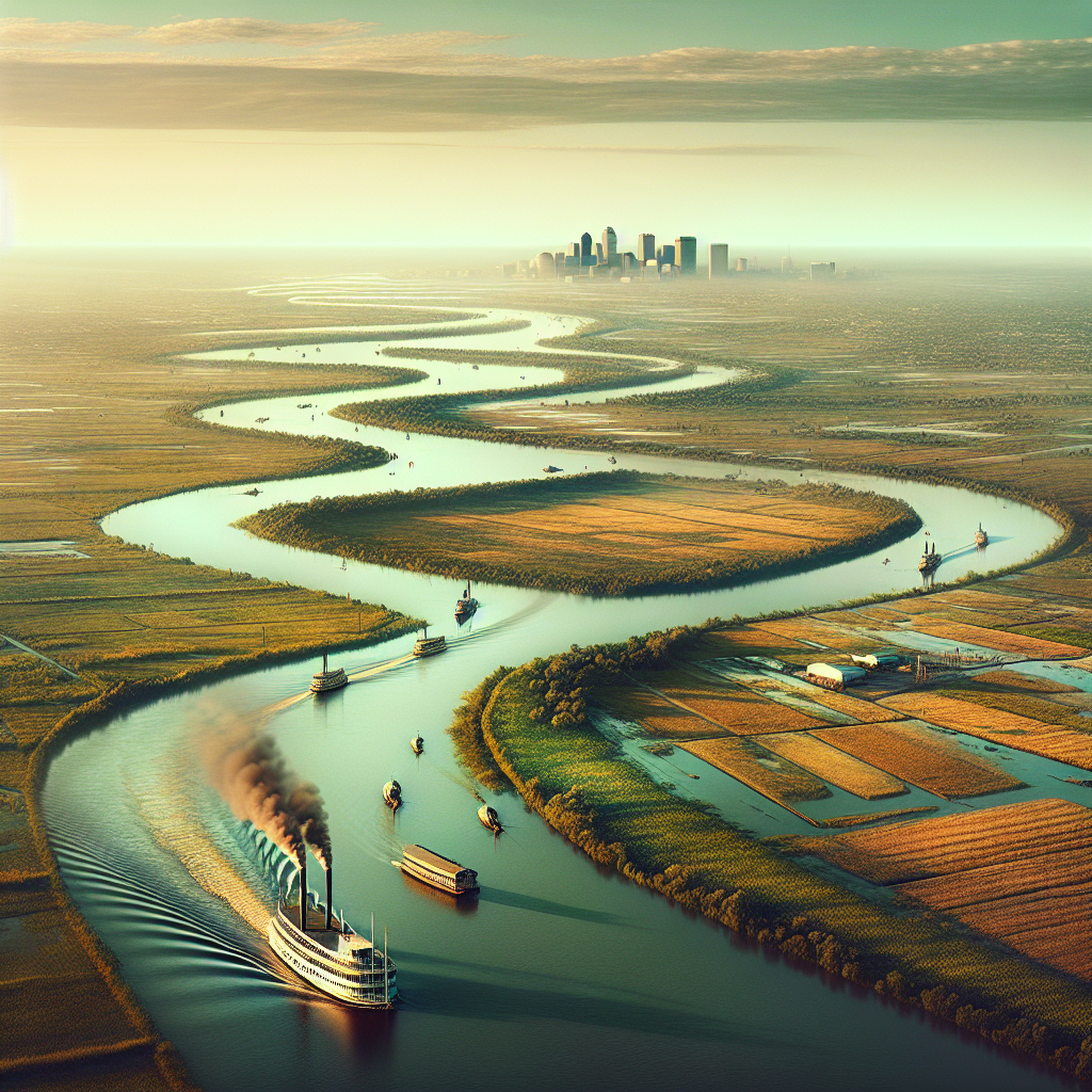
The Mississippi became the economic spine of the American interior. After the Louisiana Purchase transferred the river from French to American control in 1803, New Orleans at its mouth became the continent's commercial gateway: everything produced in the Ohio and Missouri River valleys — grain, cotton, livestock, timber — floated south to New Orleans, was loaded onto oceangoing ships, and entered world markets. The steamboat, commercialized by Robert Fulton in 1807 and perfected on the Mississippi's difficult currents over the following decades, made upstream travel possible at commercial scale for the first time, transforming the river from a one-way artery into a circulatory system. Mark Twain grew up on its banks at Hannibal, Missouri, piloted steamboats on it, and made it the setting for the two novels — The Adventures of Tom Sawyer and Adventures of Huckleberry Finn — that defined American literary innocence and its loss.
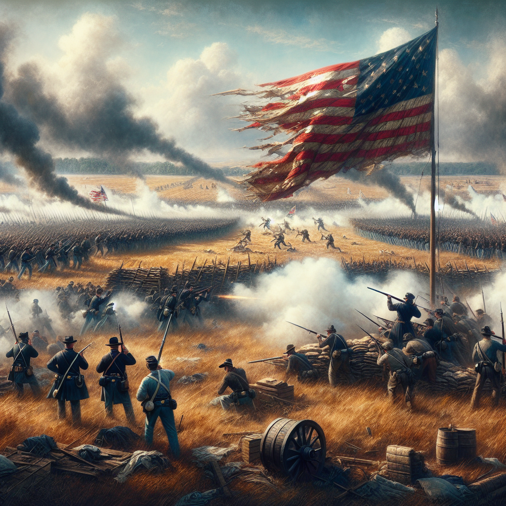
The river has also been the site of some of American history's most consequential military and industrial decisions. The Union's capture of Vicksburg in July 1863, combined with the Battle of Gettysburg that same week, split the Confederacy in two and effectively ended the South's ability to sustain a war economy. The flood of 1927 — the worst natural disaster in American history to that point, inundating 27,000 square miles across seven states — exposed the racial geography of disaster response with brutal clarity: Black flood victims were interned in work camps, forced to labor on levees at gunpoint while white residents were evacuated first. The federal response produced the Flood Control Act of 1928 and a system of levees and reservoirs that gave the Army Corps of Engineers dominion over a river that had been flooding and changing course on its own schedule since the last ice age. The system mostly works. When it doesn't — as during Hurricane Katrina in 2005 — the consequences fall most heavily on the people who always bear the weight of American engineering failures.


| Length | 2,340 miles |
| Source | Lake Itasca, Minnesota |
| Mouth | Gulf of Mexico, Louisiana |
| Drainage basin | 40% of continental U.S. (31 states, 2 Canadian provinces) |
| First European | Hernando de Soto, 1541 |
| Louisiana Purchase | 1803 — transferred control to United States |
| Great Flood | 1927 — 27,000 sq miles flooded; 700,000 displaced |
| Literary figure | Mark Twain — Adventures of Huckleberry Finn set on river |
| Location | Mississippi River, United States |