Rocky Mountains
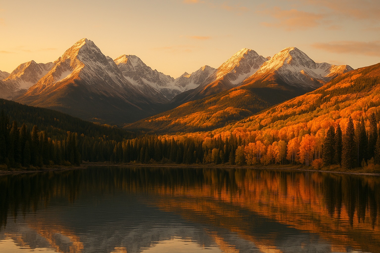
The Rocky Mountains run roughly 3,000 miles from northern British Columbia south through Idaho, Montana, Wyoming, Colorado, Utah, and New Mexico, comprising the eastern half of the great Cordillera of western North America. The range rose during the Laramide Orogeny between 80 and 55 million years ago, an episode of mountain-building far inland of the typical continental-margin pattern. Average elevations exceed 10,000 feet across much of the range and the Colorado Rockies alone have 53 peaks above 14,000 feet — the so-called fourteeners that have become a recreational obsession of Front Range cities. The Continental Divide that runs along the range's spine separates water flowing to the Pacific from water flowing to the Atlantic or Gulf.
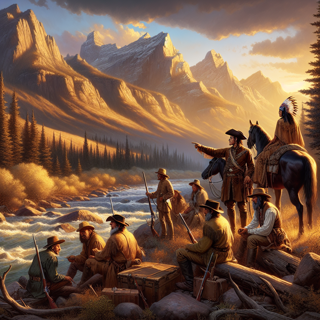
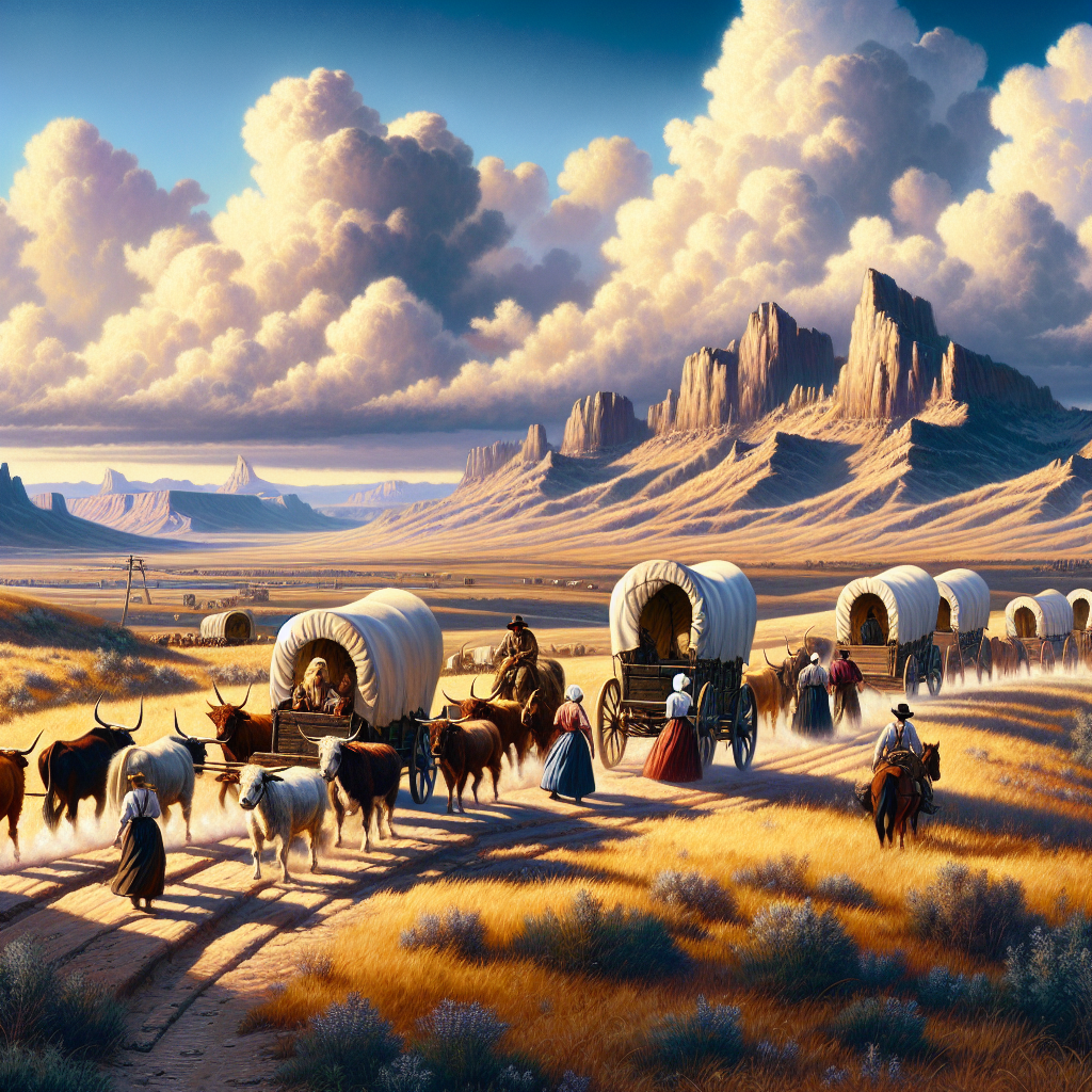
For Indigenous nations — the Blackfeet, Crow, Shoshone, Ute, Arapaho, Cheyenne, and many others — the Rockies were homeland, hunting ground, and refuge in roughly that order, with seasonal movement up and down the mountains keyed to bison migration, game cycles, and trade. For Spanish and later American expansion the range was first the western edge of the world, then the obstacle to be crossed: South Pass in Wyoming, discovered by fur trappers around 1812 and confirmed by Robert Stuart in 1813, was the broad low gateway through which the Oregon, Mormon, and California trails all eventually funneled. The transcontinental railroad followed essentially the same path in 1869.
The Rockies underwrote the late-nineteenth-century mineral economy of the West — Colorado silver and gold, Montana copper, Idaho lead and silver, Wyoming coal — and that industry built and sustained towns like Denver, Butte, Aspen, and Leadville long after the bonanza years ended. The same mineralized geology has produced a long environmental legacy of acid mine drainage and abandoned-tailings cleanups that the Environmental Protection Agency still manages. Recreation has become the modern economic story: skiing in the Wasatch and Sawatch, climbing in the Tetons, the national park system anchored at Rocky Mountain, Grand Teton, Yellowstone, and Glacier. The snowpack that supplies water to 60 million people downstream is among the most-watched climate indicators in North America, and it is shrinking.
| Length | ~3,000 miles, British Columbia to New Mexico |
| Highest peak | Mount Elbert, Colorado — 14,440 ft |
| Formation | Laramide Orogeny, ~80–55 million years ago |
| Continental Divide | Runs the spine of the range |
| Indigenous nations | Blackfeet, Crow, Shoshone, Ute, Arapaho, Cheyenne, and others |
| Mining era cities | Denver, Butte, Aspen, Leadville |
| National parks | Rocky Mountain, Glacier, Yellowstone, Grand Teton, and more |
| Date | 3,000 miles · Laramide Orogeny ~80–55 mya |
| Location | Rocky Mountain National Park, Colorado |